Speleological Society Mapping and Survey Practices
Underground surveying combines traditional measurement techniques with modern technology to create accurate three-dimensional maps of cave systems. Professional survey practices require meticulous attention to detail, systematic data recording, and collaborative workflows that distribute specialized tasks among team members. These documentation methods serve multiple purposes—enabling future explorers to navigate safely, supporting scientific research on geological processes, and providing legal records for conservation easements. The disciplined approach to data collection and verification translates effectively to any field requiring precise measurement under challenging conditions.
Survey Methodology and Equipment
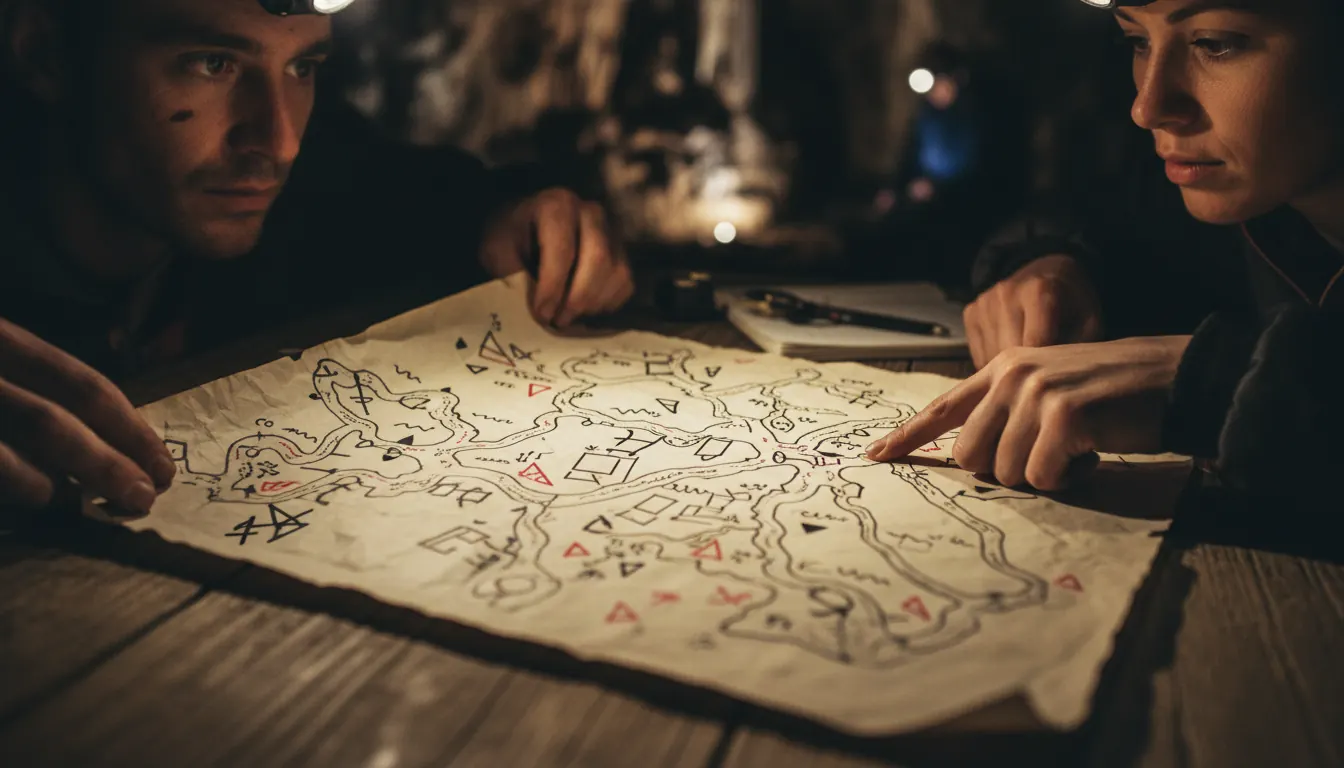
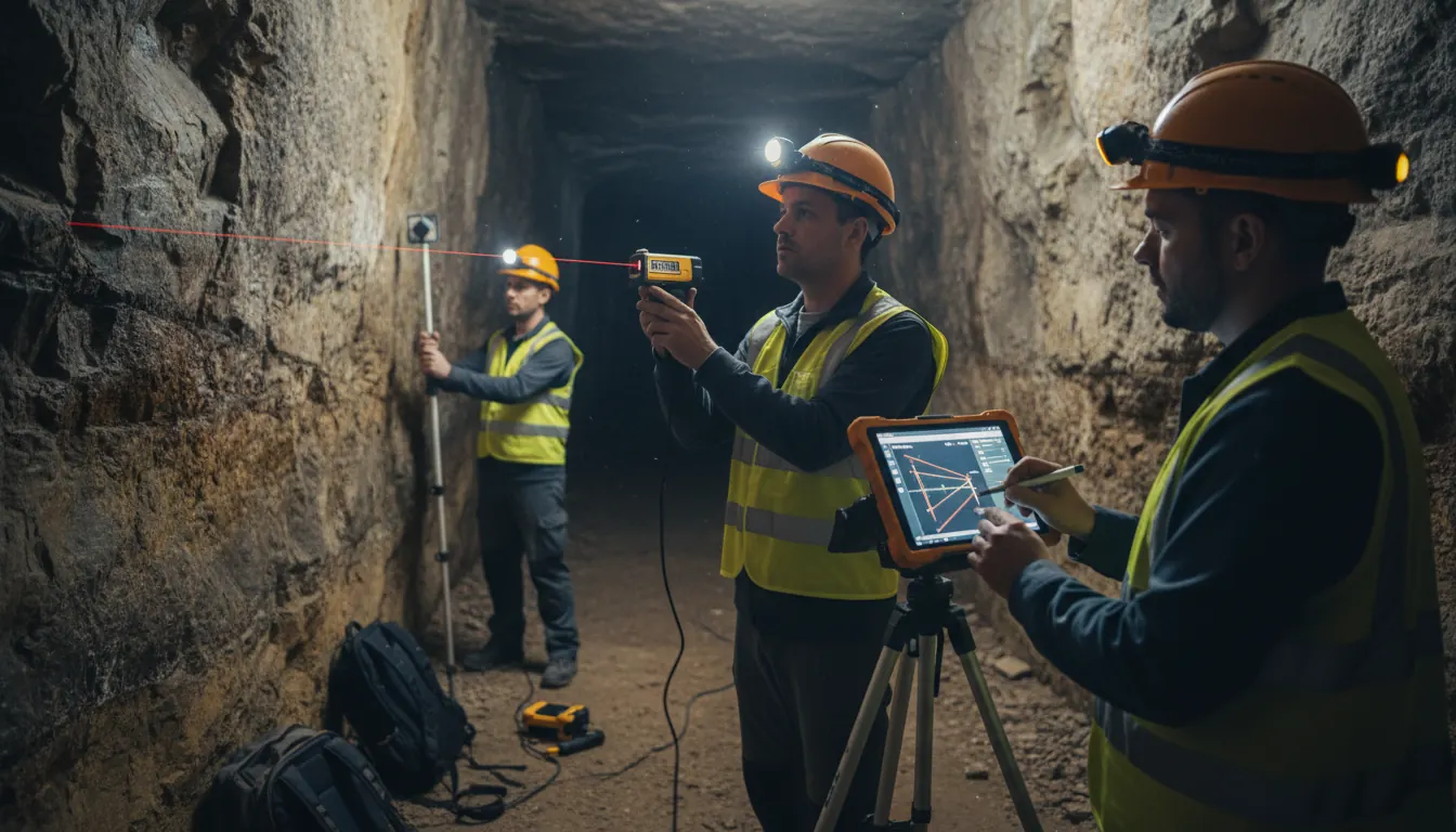
Standard cave survey employs a leapfrog station method where teams measure distance, compass bearing, and inclination between successive points along passage walls. Each station gets marked temporarily with flagging tape and assigned a unique identifier recorded in waterproof notebooks. Modern laser distance meters have largely replaced traditional measuring tapes for improved accuracy and speed, though backup analog systems remain essential when electronics fail in wet conditions. Survey teams typically consist of three to four members with specialized roles: instrument reader, note recorder, sketch artist, and station pointer.
- Compass bearings require magnetic declination corrections to align survey data with true north references
- Inclination measurements account for passage slope enabling accurate elevation profile generation
- Redundant measurements at complex junctions verify that loop closures match within acceptable error margins
- Sketch artists capture passage dimensions and feature locations providing context for numerical data
- Digital processing software transforms field notes into publication-quality maps and three-dimensional models
Survey Technique Comparison
Different approaches balance precision against time investment:
| Method | Accuracy Level | Best Application |
|---|---|---|
| Grade 5 Survey | Publication-quality precision | Scientific documentation and legal records |
| Grade 3 Survey | Navigation-adequate detail | Recreational trip planning and general reference |
| Reconnaissance Sketch | Rough approximation | Initial exploration and future survey planning |
| Photo Documentation | Visual reference only | Supplement to formal surveys for feature identification |
"Accurate surveys require patience and systematic discipline. Rushing measurements to cover more passage inevitably produces useless data requiring expensive resurvey expeditions to correct."
Analytical Skills in Documentation
The rigorous attention to detail demanded by cave surveying develops analytical abilities applicable across numerous professional contexts. Survey teams practice probability assessment when estimating how long complex passages will take to document fully, skills that enhance project management and resource allocation decisions. The habit of cross-checking measurements before proceeding mirrors quality control practices in engineering and scientific research. Some training programs use probability exercises borrowed from gaming contexts to help students understand measurement error propagation and confidence intervals—concepts that seem abstract until applied to actual survey loop closure calculations. These transferable analytical frameworks create more precise thinkers in any domain requiring systematic data collection and interpretation.